
Rainy Season Herding Patterns Poster
Oct. 22 | 2016
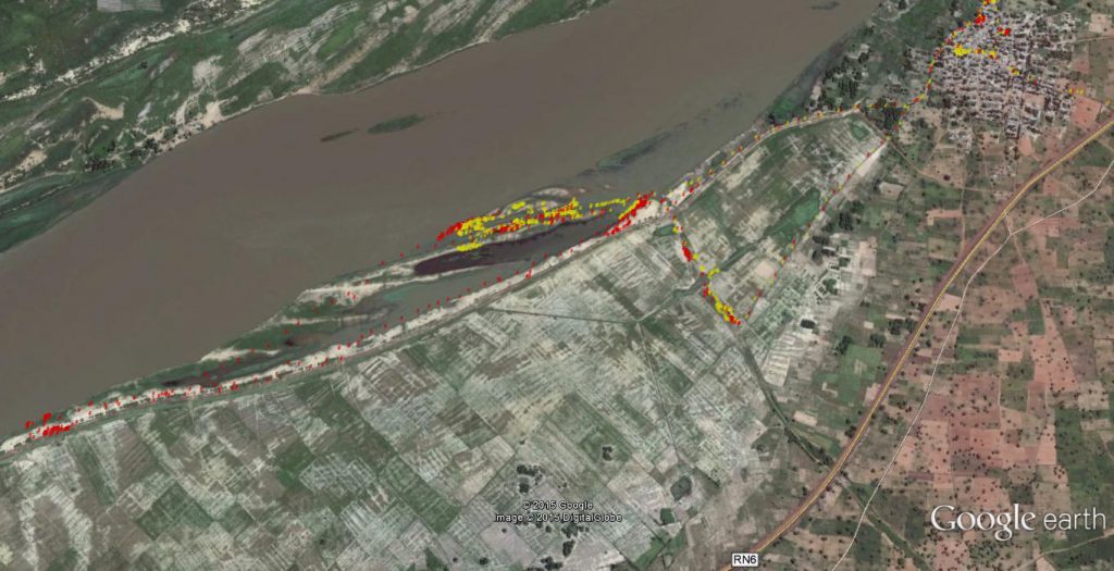
Smallholder livestock production in Mali’s rain-fed agro-pastoral systems is strongly limited by deficient levels of ruminant feeding (Eibils et al. 2015). Crop cycles frequently dictate access to common grazing resources giving way to the smallholder’s paradox. During the rainy season when quality and quantity of forages are highest, access to common grazing lands is extremely restricted because smallholders seek to minimize the risk of crop damage liability.
Conversely, during the dry season, when forages are dormant and scarce, mobility and grazing access is unrestricted. Herders (often children) can further constrain ruminant foraging choices when deciding where and for how long animals graze.
“This assignment allowed us to do something that I believe is also novel and that, to my knowledge, has not yet been achieved with our stakeholders in the United States. That is, to use livestock GPS data to inform grazing management decisions and diagnose grazing problems. The fact that we were able to discuss our GPS results with village farmers and that we were able to receive their reactions to these results, is a novel phenomenon even for rangeland managers in the U.S. I am proud that we are pioneering efforts of this sort in the villages of Ségou in Mali!” – Team Leader: Dr. Andrés Cibils
The objective of this pilot study was to characterize movement and activity patterns of herded GPS-collared ruminants during the season with highest movement/access constraints.